- Posted by:
- Posted on:
- Category: Engineering & SimulationEngineering & Simulation
- Version: 2023.0.3
- System: Windows
- Developer: Autodesk
- Price:
USD 0 - Views:
11
Free Download Autodesk AutoCAD Map 3D for Windows. This software is for entertainment, natural resources, manufacturing, engineering, construction, and civil infrastructure.
Overview of Autodesk AutoCAD Map 3D
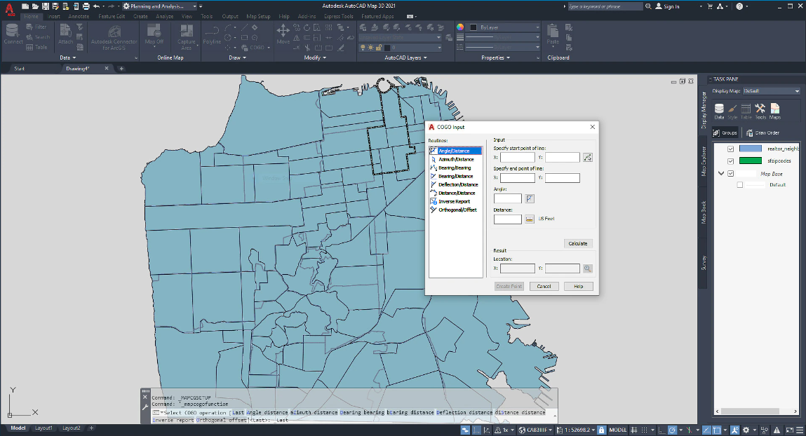
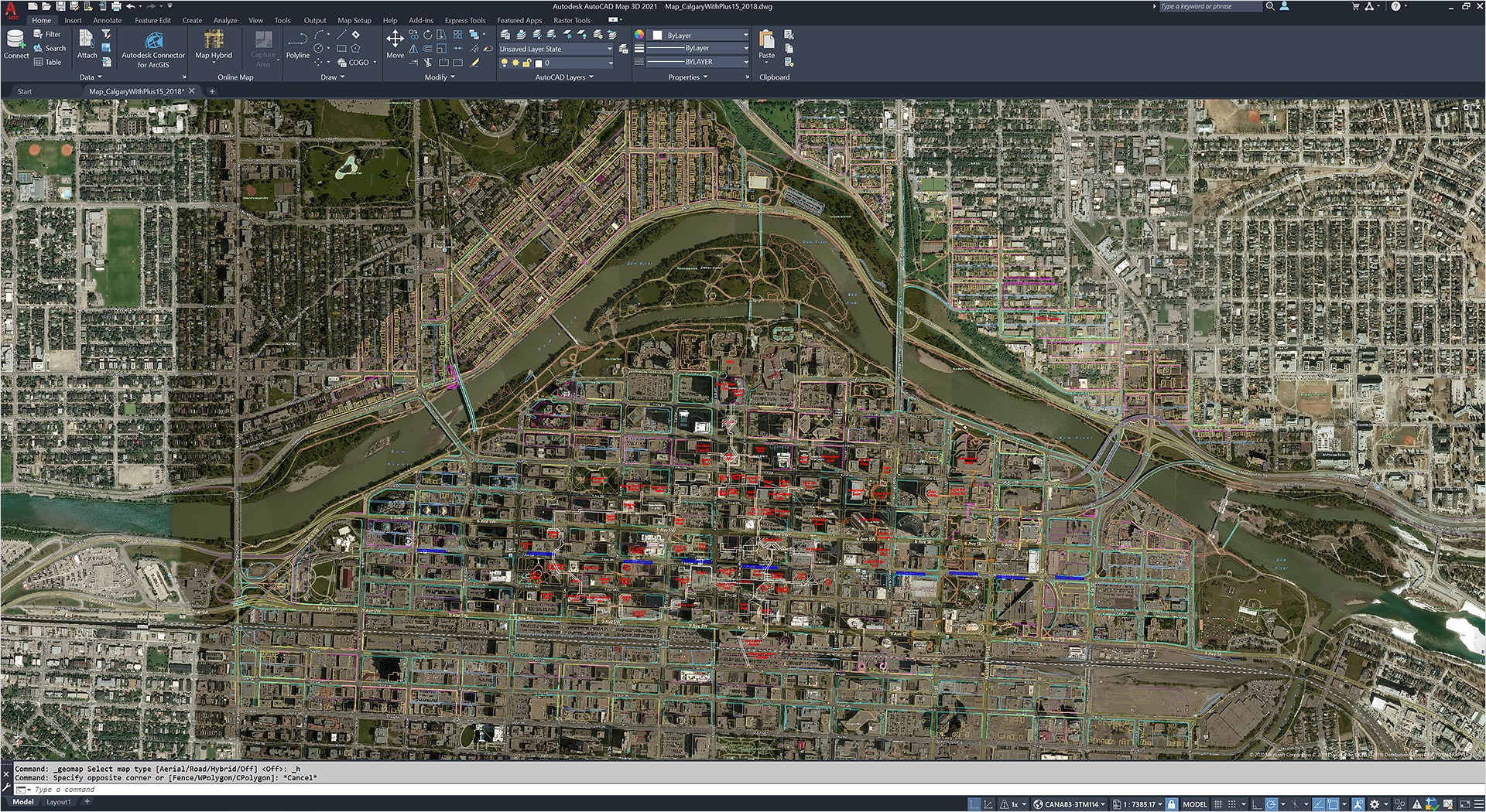
Autodesk AutoCAD Map 3D is a mapping and surveying software that allows users to create, edit, and manage maps and other geographic data. The software includes tools for managing large amounts of data, as well as tools for analyzing and visualizing data. AutoCAD Map 3D also includes various features for collaborating with other users and sharing data.
The software has various features that make it easy for you to create accurate and detailed maps and models, such as contour lines, elevation levels, and symbols. You can also use AutoCAD Map 3D to analyze data and create reports.
Features of Autodesk AutoCAD Map 3D
- Precise range of 8 Minnesota County coordinate systems
- Support for GDA Australia 2020
- Discontinued Wisconsin County HPGN 221 coordinate system
- Update to EPSG 9.0
- Supports transformation from OSGB1936 to ETRS89
- Added Deutsche Bahn Reference System and related coordinate systems
- New Version Support for Oracle FDO Providers
- High Resolution Monitor Support (4K)
- Fourth Generation MrSID Image Support
- PostGIS 2.2 Support
- AutoCAD Map 3D supports WFS 2.0 protocol
- Removal of yellow core Point Cloud
- Extend ArcGIS FDO Provider support to versions 10.3.1 and 10.4.


